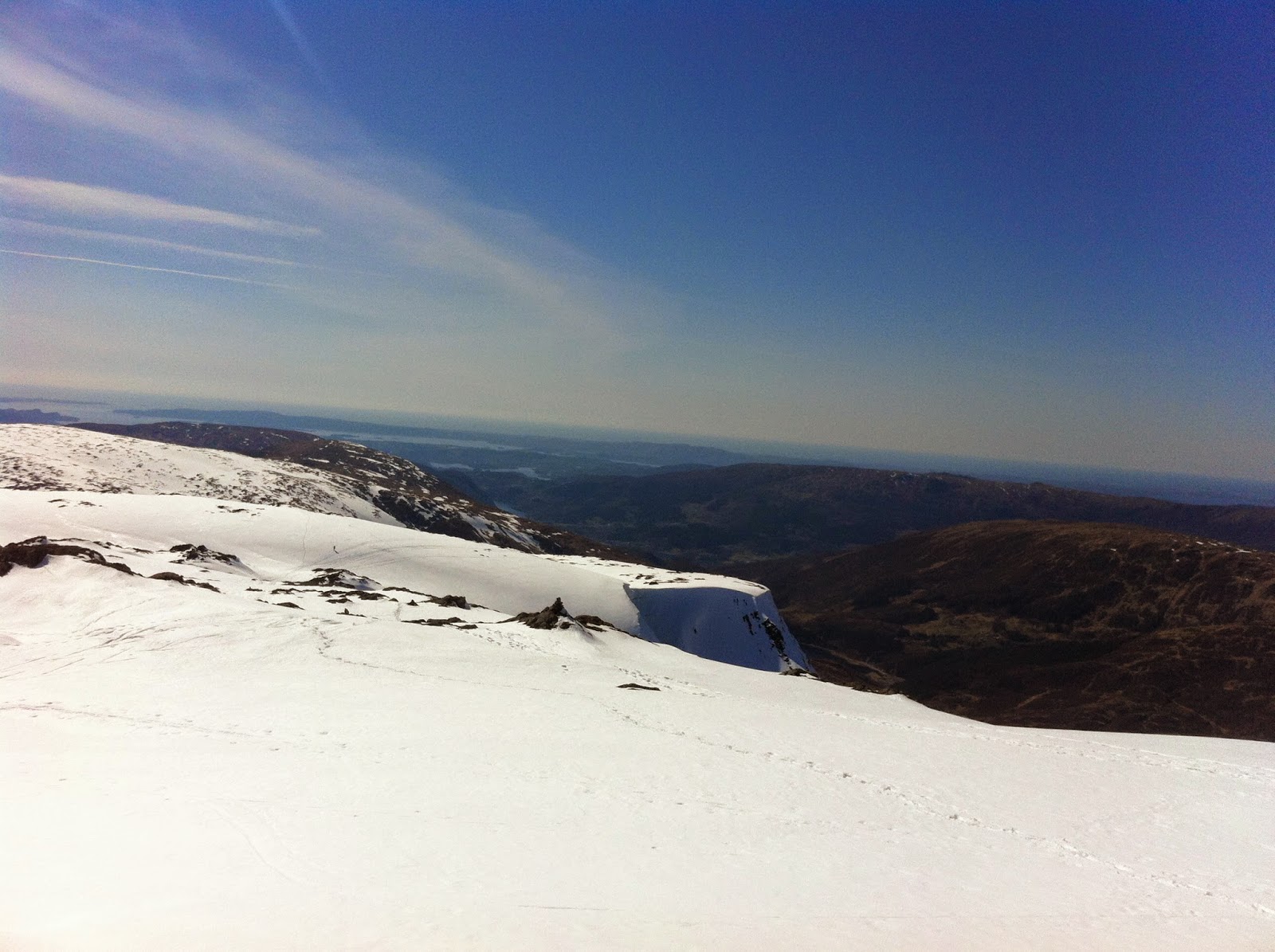
Monday, April 28, 2014

Facebook photo walk: Preikestolen (Pulpit Rock), Stavanger - Norway

A facebook photo walk:) 
Pretty boring walk up to Preikestolen (The pulpit rock)! Extremely touristy and the trail has also been improved with a wider track and stone stairs up the hill so it would be easier for the tourists to walk. We walked almost in a cue on our way up. The small passage out to the plateau gives you some butterflies in the stomach.  We brought some beers and had a great little pre-party up there watching lots of reckless people sitting on the edge of the plateau. Personally, too heavy for me but big cred to the people who dared to sit on the edge of the Pulpit Rock:).

Summary
Distance: 7,88 km
Time: 2:13:02
Avg Pace: 16:53 min/km
Elevation Gain: 438 m
Highest peak 604 masl

For more details about the walk  check out my Garmin Page.
Preikestolen (Pulpit Rock), Stavanger - Norway by krisnystedt at Garmin Connect - Details


Thursday, April 24, 2014

Get started walks: Landås & Nattlandsfjellet, Bergen - Norway


Two more of the mountains surrounding Bergen in the collection:)
I started my walk from Montana up to Ulriken (Bergen’s highest peak). From there I walked towards Landåsfjellet and down to Nubbevannet. Followed the trail down to Nattlandsfjellet before I turned and walked the ridge from Nattlandsfjellet and back to Montana. The last part over the ridge was the best part of the course because you walk on the ridge above Bergen city and have a nice city view along the walk. Done with the mountains of Bergen – time to take on the Stavanger regionJ
 

Summary
Distance: 10,72 km
Time: 2:53:39
Avg Pace: 16:12 min/km
Elevation Gain: 700 m
Highest peak: 643masl

For more details about the course: check out my Garmin Connect profil. Here you will find all my courses with details and maps.

Landås & Nattlandsfjellet, Bergen - Norway by krisnystedt at Garmin Connect - Details


Tuesday, April 22, 2014

Great walks: Gullfjellet, Hordaland - Norway


Gullfjellstoppen is by far the best viewpoint in Bergen commune! The reward to reach the top is definitely worth the effort.
Gullfjellstoppen also known as “Sydpolen” (The South Pole) is the highest mountain in Bergen area with its 987 masl. It’s part of a mountain massif so it has a great traverse that makes it excellent for hiking and skiing. The peak is more used for randonee skiing at this part of the year so a peak that is easy to reach in the summer was hard to reach yesterday on foot because of all the snow from Redningshytten and up to the peak. I followed the route that starts with Osavatnet.  

Summary
Distance: 16,62 km
Time: 4:36:08
Avg Pace: 16:37 min/km
Elevation Gain: 899 m
Highest peak: 987
Grade: Difficult

Gullfjellet, Hordaland - Norway by krisnystedt at Garmin Connect - Details


Monday, April 21, 2014

Great walks: Hiking in the Valley of Vøringfossen, Eidfjord - Norway

Great walk to impress your girlfriend, a date or just someone:) 
We started the walk above Storgjetunnelen and followed the old way down till we got to the trail that leads into the valley of Måbudalen/Vørringfossen. The majestic waterfall Vøringfossen with a sheer drop of 182 metres was stunning to watch from the bottom up. Powerful masses of water just thundering down! The track takes you over a small bridge that only one person at time should walk over. You also have to pass a part of big rocks that you should walk with care since they are slippery and it is easy to take a fall. All in all a great walk that gives you a close look at one of Norway's most famous waterfalls.

 Summary
Distance: 5,86 km
Time: 2:13:49
Avg Pace: 22:50 min/km
Elevation Gain: 557 m
Grade: Medium

 Valley of Vøringfossen, Eidfjord - Norway by krisnystedt at Garmin Connect - Details


Cross Country Skiing in Hardangervidda, Norway

Cross country skiing from Dyranut till Stigstuv at Hardangervidda.
With great sunny weather the 24km roundtrip was a great experience.
 
Dyranut - Stigstuv by krisnystedt at Garmin Connect - Details

Summary
Distance: 23,50 km
Time: 4:00:59
Avg Speed: 5,9 km/h
Elevation Gain: 341 m


Sunday, April 20, 2014

Great walks: Ulriken - Vidden, Bergen - Norway


I started the walk next to the cable car station at Montana. The start of the walk its pretty steep and definitely give you room for breather. When you get up to the lookout you have a fantastic panoramic view. Leg two of the walk takes you over Vidden on the top of the mountain ridge that surrounds Bergen. The walk at the top its pretty easy and you will enjoy a fantastic view-  but it is a long walk. I walked down Fløyensvingene (hair needle pins) and ended up with a cold beer at Bergen harbor - well deserved. During the walk I found it funny to watch tourist take the walk with no clue of how long the walk is. In clothing and shoes not appropriate for this walk at all, I have to say I find it quite impressive that they get down from the mountain at all (and I bet many of them say to themselves never again!). However with the right fitness level, gear, shoes and food the walk is the best walk in the Bergen area.

Summary
Distance: 19,32 km
Time: 4:33:09
Avg Pace: 14:08 min/km
Elevation Gain: 904 m
Highest Peak: 643m

 Ulriken - Vidden, Bergen - Norway by krisnystedt at Garmin Connect - Details


Thursday, April 10, 2014

Get started walks: Blåmanen, Bergen - Norway

Blåmanen is part of the mountain massif "The seven Mountains" (considered as the eight mountain...)
I started the walk at the bottom of Fløysvingene and walked towards Brushytten before the last leg of  walk up to Blåmanen. Great lookout over Bergen,the cityfjord and surroundings and the mountains behind "byfjellene". Similar view as the view from Rundemanen (a close by point) and also a little easiser walk then Rundemanen. 

Summary
Distance:
11,81 km
Time:
2:12:57
Avg Pace:
11:16 min/km
Elevation Gain:
564 m
Highest peak: 554


Blåmanen, Bergen - Norway by krisnystedt at Garmin Connect - Details